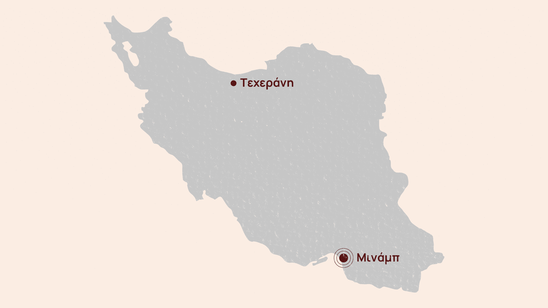
Evidence #1: Location
The school was located next to military installations and support bases of the Islamic Revolutionary Guard Corps (IRGC).
It had been part of IRGC support bases but was separated and operated as a school for the past nine years, as evidenced by colorful murals.
Satellite images show no indication of military use, but the location explains why it could have been targeted by the US or Israel.
Evidence #2: Videos
Several videos of the bombed school, verified by The Guardian, circulated on Iranian social media immediately after the attack.
One video shows the ruins of the school and smoke rising behind a fence, on the side of the IRGC bases.
This video was the first indication that the bomb hitting the school was part of a series of attacks targeting the IRGC complex nearby.
Evidence #3: Satellite images
On March 4, the first satellite images showing the extent of the destruction were released.
They depict the destroyed school complex and four other bombed buildings next to it, all part of the IRGC compound.