El Niño has officially begun — the natural climate phenomenon that warms the waters of the tropical Pacific and can reshape weather patterns across much of the planet. The US NOAA announced that sea surface temperatures in the central and eastern equatorial Pacific have crossed the threshold used to mark the onset of the phenomenon, while the Japan Meteorological Agency also considers El Niño conditions to already be present and says they are almost certain to continue through autumn.
Its intensity, however, remains the key question. The latest forecast models show that the phenomenon could strengthen significantly toward the end of 2026, with NOAA giving a 63% chance that it will develop into a “very strong” El Niño during the November–January period — a level that would place it close to the strongest episodes recorded since 1950.
Temperatures in 2024, the warmest year ever recorded, were boosted by El Niño.
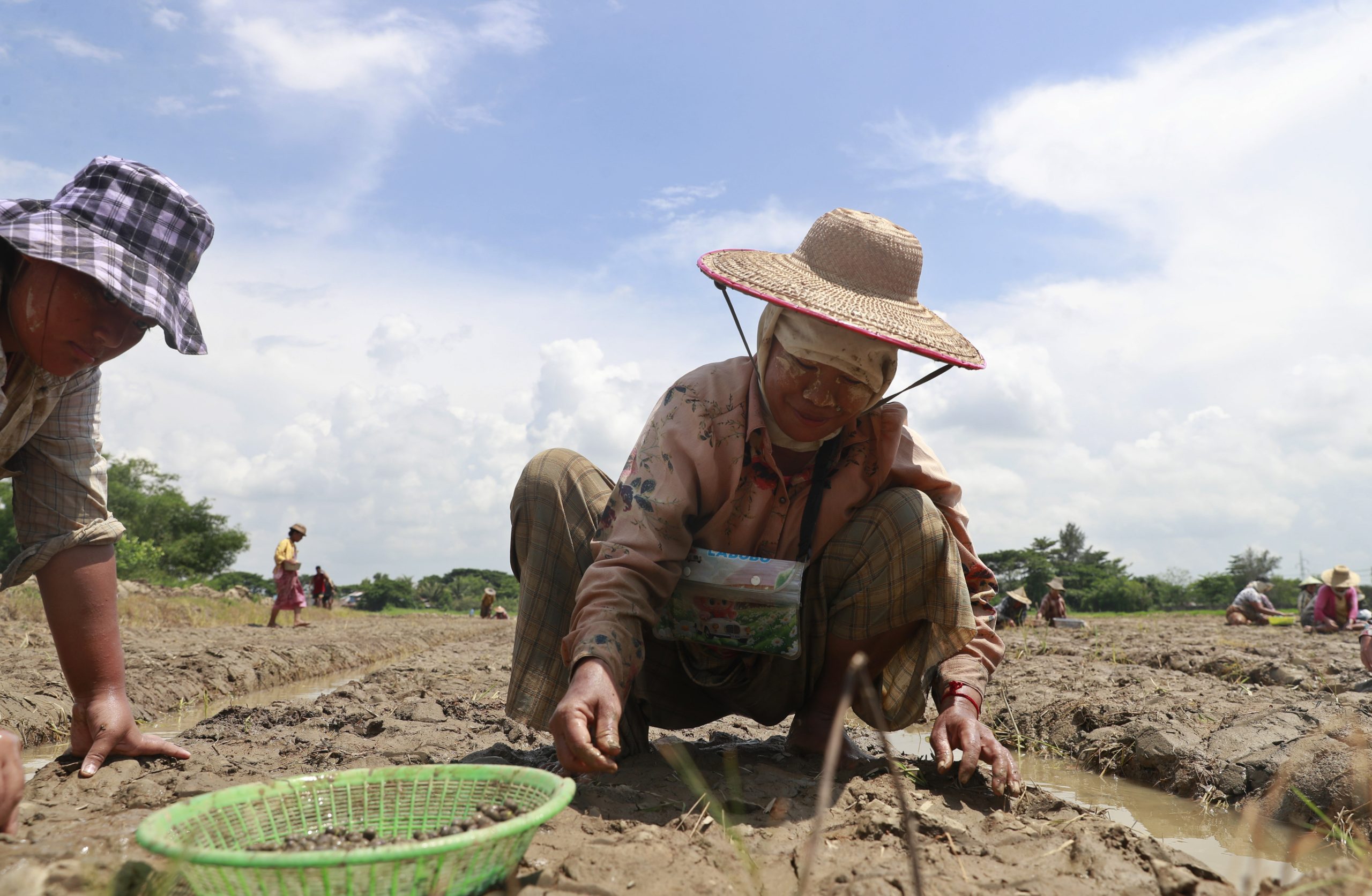
The impacts are not the same everywhere and are not guaranteed, but a strong El Niño increases the chances of flooding in areas such as Peru and the southern US, and of drought or increased wildfire risk in parts of Australia, Indonesia and northern South America. It usually suppresses hurricane activity in the Atlantic, but it can also reduce rainfall in Central America.
What worries experts is that it is arriving on top of an already warmer planet. 2024 was the warmest year ever recorded, while 2025 remained the third-warmest year, despite the cooling influence of another climate phenomenon, La Niña. This raises the risk of new record temperatures in 2027.
Sources: BBC